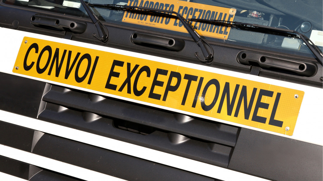
When large and heavy loads have to pass through bottlenecks, every centimetre counts. That's why routes have to be planned precisely. A new method developed by the Cologne University of Applied Sciences and Sommer GmbH & Co. KG will support this in the future by using 3D-scanned routes and simulated tractory curves. In addition, prototypes have been developed for a new navigation system and an augmented reality representation of the route.
The project was based on the recording of bottlenecks using a 3D scanning vehicle equipped with a mobile mapping system consisting of various sensors and a multi-camera system. ‘Cutting-edge camera technology now makes it possible to generate digital images of a road with an accuracy of a few centimetres. The problem is that disturbances such as rain or snow, other road users or the movement of the measuring vehicle itself can affect the results,’ says project manager Prof. Dr. Alfred Ulrich from the Cologne Laboratory for Construction Machines at the Cologne University of Applied Sciences.
Therefore, a major part of the project was to optimise the camera recordings by making changes to the hardware and the design of the measuring vehicle, as well as through the use of software. This allowed the data obtained, such as clearance heights or lane markings, to be automatically processed, evaluated and visualised. The end result was a 3D point cloud that is georeferenced, i.e. it is linked to the data of a digital map.
The next step was the digital modelling of the transport. This involved mapping various vehicle models, including the transfer of a 70-metre-long wind turbine blade. ‘We integrated the digital route and the digital vehicle into a common simulation environment and calculated the so-called tractory curve. This indicates how much space the transport needs, for example, when driving through a curve. For this, we need the interference-free data sets so that a dust particle that has been digitised by mistake does not trigger a collision warning,’ says Ulrich. The data generated in this way can be used to plan a digital route, which in particular determines whether all bottlenecks on the route are passable. If these are submitted to the relevant authorities, they could speed up the approval process.
As part of the research project, the participants also looked at ways of simplifying the actual transport. The permits for large and heavy transports often run to several hundred pages, as special requirements are set for different sections of the route. For example, the authorities can stipulate which lanes the transport must use. As a result, an existing navigation system from project partner Sommer GmbH & Co. KG was expanded.
‘Previously, the approval notice had to be manually digitised and integrated into the navigation system. This is now largely done automatically. Information on speed, height restrictions or the positioning of escort vehicles appears on the display. The system is available in 13 languages and can replace interpreters who might otherwise be needed,’ explains Helga Sommer, managing director of Sommer GmbH & Co. KG.
In particularly critical bottlenecks, a new operating mode is used for fine localisation, which is based on the previously determined digital images of the road and vehicle. ‘A collision-free ideal line is determined in advance, which serves as a reference during the journey. The system determines the current position of the transport and calculates a steering recommendation,’ says Ulrich. In addition, the project partners experimented with augmented reality (AR). The driver wears AR glasses that allow him to see the road while also receiving driving instructions at the bottom of the display based on the results of the fine localisation. The research results are now being developed for market launch in the product portfolio of Sommer GmbH & Co. KG.

